


It was difficult for the revenue department to authenticate ground level data. Even where they could do it manually, it took lot of time and was prone to human-errors

Siloed information in different Government departments (Revenue, Finance, Local level) did not talk to each other, making verification and distribution extremely tedious & decision-making very complex

Poor digital literacy amongst the farmers meant the use of middle-men for help, which created different issues for the farmers

Delays in farmer-compensation or benefits from other Government Programs led to increased farmer's suicide cases

Built a base of networked Government databases

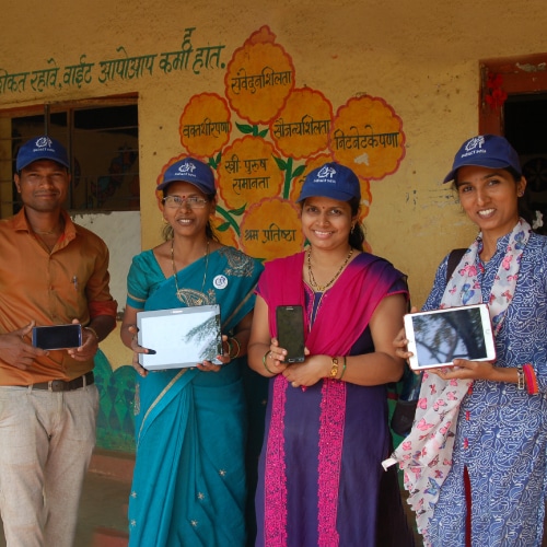
Created an easy to understand and intuitive smartphone app for real-time data collection that required minimal education and training

Enhanced data accuracy with 7/12 land records, geo-tagging, and automated date-time stamping for authentic crop progress tracking

Developed dashboards and reports to enable informed decision-making

We began by creating a robust network of interconnected government databases, breaking down information silos and facilitating seamless data sharing across departments
We built a multi-lingual, easy to understand and use Mobile App for data collection and real-time, on-field reporting, which the farmers could themselves use, increasing data accuracy, validation and eliminating the need for middle-men
We enhanced data accuracy by linking their 7/12 land records to reporting of crop destruction
We enabled geo-tagging to ensure the accuracy of the field-level data

Finally we enabled data-driven decision-making for the Govt. officials by creating various dashboards that enabled them to get better insights into farmer's issues

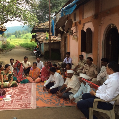


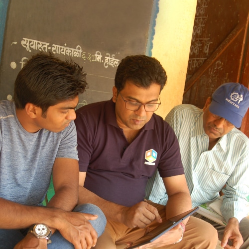
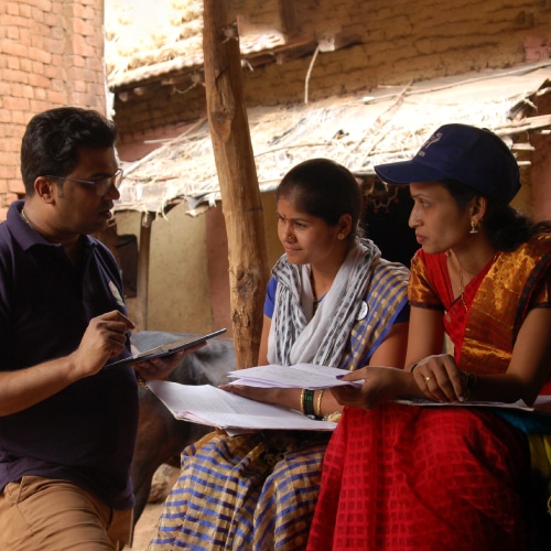

Enabled farmers to directly communicate information such as crop damage, insurance claims, and other subsidy-related matters with the government.

Enabled the Govt. to authenticate ground level information in real-time, allowing them to disburse compensations without delays.

Eased the Govt.’s burden of acquiring and authenticating ground level information, cross verifying against several databases and disbursing compensation.
Enabled government to monitor progress and take informed decisions.

Due to the relevant quality data from farmers, it contributes to policy-level changes in agriculture , promotes sustainable and informed decision-making by government authorities.
This enhanced direct Farmer-Govt's inter-Departmental communication for issues like crop damage, insurance claims, claims disbursement, etc. related matters
This enabled disbursement of compensations without delays, by providing for real-time, ground-Level authentication
This streamlined compensation disbursement: by speeding the acquisition and authentication of ground level information & enabling direct to farmer payouts